Automatic polygon features separation
Automatic polygon features separation tool is provided for separating polygons into equal parts.
The tool is enabled only when ArcMap editing session is on (see How to switch on ArcMap editing session).
The following dialog appears when you run the tool.
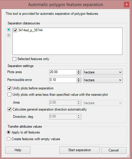
The following parameters should be specified to start the separation process:
- Select polygons to be separated;
- Specify separation properties:
o Unify plots before separation;
o Unify plots with area less than specified value with the nearest plots. The area of the lesser plot is defined by the user;
o Specify separation direction in degrees. The default direction value is the greatest axis of the separated polygon.
- Specify the attribute values transfer type:
- Copy attribute values for all features. Note that if the source attribute table contains values in the Area and Perimeter columns, then after the tool work has been completed, these values would not be automatically recalculated for the output polygons.
- Create features with empty values.
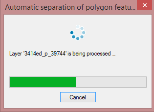
After you press the Start separation button, the following dialog indicating the separation progress of the selected polygons appears.
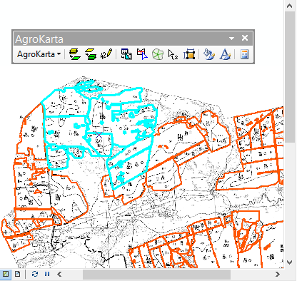
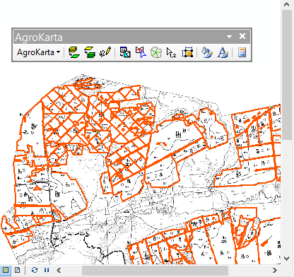
The figures below represent the work of the Automatic polygon features separation tool:
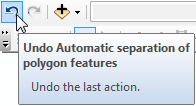
To cancel the separation results press Undo without closing the current editing session.