


Smooth Polygons
Purpose
The tool is aimed to smoothing polygon features.
Description
The tool provides ArcGIS users with capabilities to smooth polygon features with either of two smoothing algorithms provided:
-
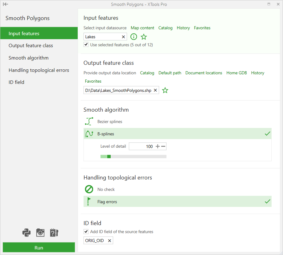
Bezier splines
-
B-splines
Usage
-
Select the "Smooth Polygons" tool from the XTools Pro Feature Conversions menu.
-
Select the input layer containing polygons that you wish to smooth.
-
Specify the name and location of the output feature class.
-
Select the required smoothing algorithm (either Bezier or B-splines).
-
Select how possible topological errors should be handled.
-
Specify ID field to store input features IDs.
-
Press Run to smooth polygons.
There are two smoothing algorithms provided:
-
Bezier splines
Polygons will be smoothed by creating Bezier curves to match the input polygons. If the output is a shapefile, the Bezier curves will be approximated, since true Bezier curves cannot be stored in shapefiles.
-
B-splines
Polygons will be smoothed with the spline function taking into account level of detail for the smoothed polygons (i.e. density of vertices in the smoothed segments).
Default value for the Level of detail is 100% which is applicable in most cases, valid values vary from 50% to 500%.
Following options are provided for handling possible topological errors in the output feature class:
-
No check
output polygons won't be checked for topological errors.
-
Flag errors
output polygons will be checked and found topological errors will be flagged in a new field.