


Create Table
Purpose
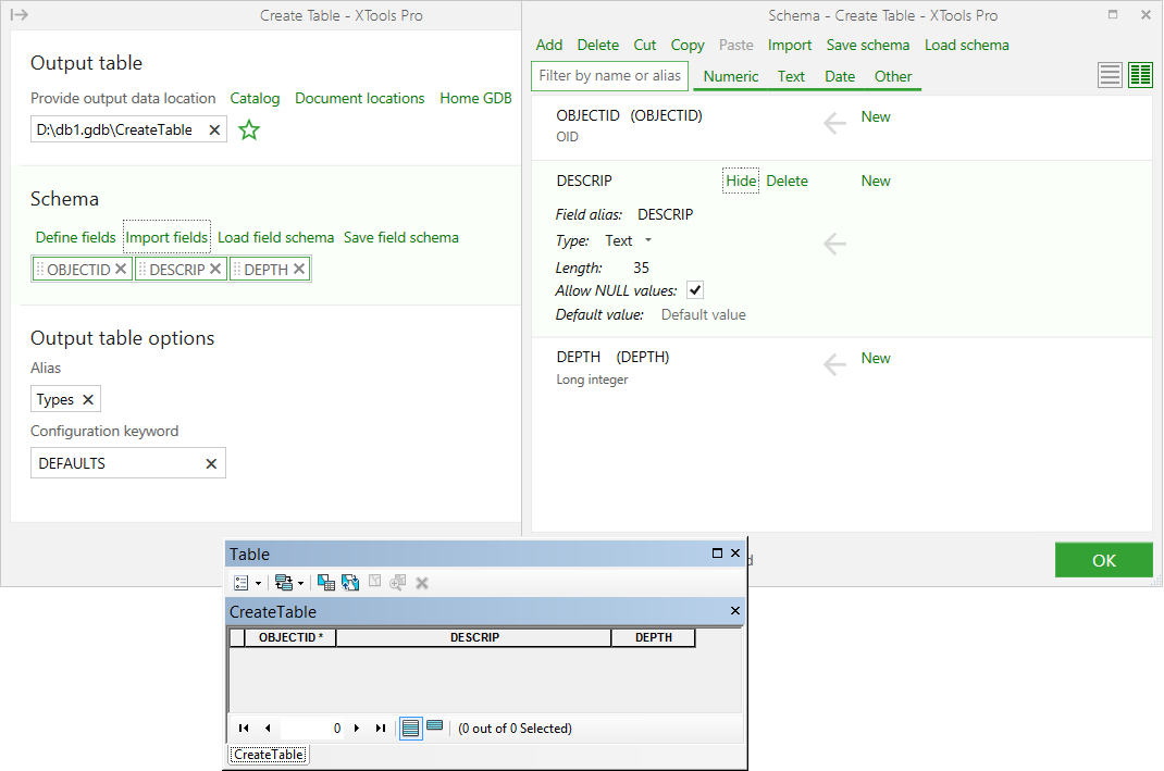
The Create Table tool is provided for creating new standalone tables without using Catalog or ArcCatalog. As a result, a new empty table with specified fields will be created.
Description
The Create Table tool allows creating new tables in geodatabases or DBF files. At that, you can define field schema for a new table - you can add new fields and specify field properties manually, import fields from the other feature classes or tables or load previously saved field schema files in XML format.
Creating tables
The tool is available from the XTools Pro Data Management Tools menu. Click on the tool icon in the list of the XTools Pro Data Management Tools to run the Create Table tool.
-
Specify new output table.
-
Define field schema (add fields and specify field properties).
-
Select the output dataset options.
-
Press Run to create new table.
Defining field schema
By default, output field schema consists of only one default field, OBJECTID. In the Schema dialog window (Define fields button) you can add new fields, either manually, importing fields from another table or feature class (Import fields button) or loading with the field schema (Load field schema button).
Using compact view of Schema dialog window ( button)
you can quickly reorder fields moving them to the needed location. You
can also change simple field properties in the compact view.
button)
you can quickly reorder fields moving them to the needed location. You
can also change simple field properties in the compact view.
Each field may be viewed and its properties may be redefined if needed (Details button). The New button shows that the created field will be empty.
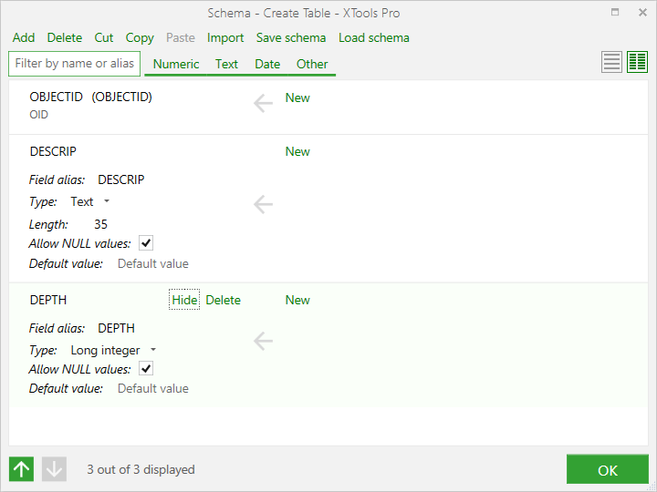
Field properties:
-
For numeric fields following properties can be set or modified:
Precision (for Long Integer, Float and Double), Scale (for Float and Double), Allow NULL values, Default value
-
For text fields following properties can be set or modified:
Length, Allow NULL values, Default value -
For date fields following properties can be set or modified:
Allow NULL values, Default value -
For geometry field following properties can be set or modified:
Geometry type, Coordinate system, Z and M values -
For BLOB field following property can be set or modified:
Length -
For Raster field following properties can be set or modified:
Description, Managed by GDB.
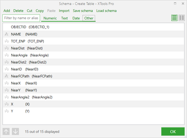
You can also filter fields by its name (alias) or type and sort them by arrow buttons or mouse button (click at the group of the grey points arranged vertically in front of the field name and move it to a new location keeping mouse button pressed).
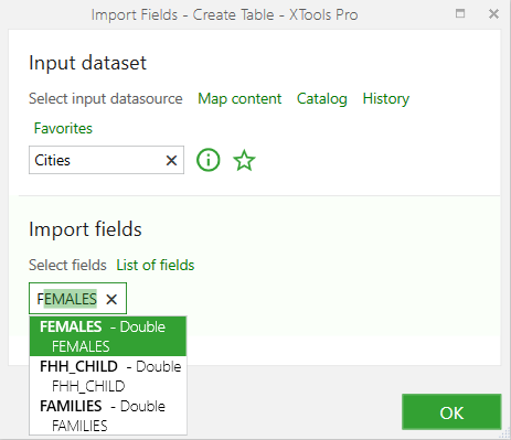
Importing fields
You can add required fields importing them from another feature class or standalone table. The fields may be selected from fields list (List of fields button) or typed manually in the entry field.
Loading field schema
You can specify the field schema loading one from the previously saved XML file (Load field schema button). This option allows getting several datasets with the same field schema. You can also redefine the field parameters and save the changed schema in the XML file (Save field schema button).
Specifying output dataset options
You can select an alias and a configuration keyword for output tables created in geodatabases.
Note:
The tool result is added to the current map without Alias set, although
it is actually created.
Using tool with Python
You can run the tool from the Python window. To do this you can copy the Python code from the tool dialog window into the clipboard or save it as Python script file (.py).
Note:
It is recommended to change path to the XML schema to the proper one manually
before running the Python code.