


Grid from Points
#updated
Purpose
The tool is meant for creating grids from point data interpolating input points by values from the selected attribute field.
Description
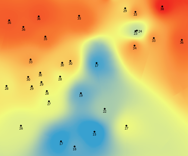
Grid is a geographic representation of the world as an array of cells arranged in rows and columns. Each grid cell is referenced by its geographic X, Y location. Raster cell is a discretely uniform unit (square or rectangle) that represents a portion of the earth such as a square meter or square mile. Each pixel has a value that corresponds to the feature or characteristic at that site such as a soil type, census tract, or vegetation class.
With the Grid from Points tool you can create grids from point data interpolating input points by the specified field values. IDW interpolation algorithms are used in the tool.
Usage
-
Select the "Grid from Points" tool from the XTools Pro Surface Tools menu.
-
Select the input layer containing points that you wish to create Grid from.
-
Specify output Grid. Following formats are supported for storing new Grids: Esri GRID, ERDAS IMAGINE and TIFF.
-
Select an attribute field with values for interpolation.
-
Select output Grid cell size.
-
Select interpolation method.
-
Specify a mask polygon layer if required. If the mask is selected then output Grid will be generated only within the mask area.
-
Press Run to create a new Grid.
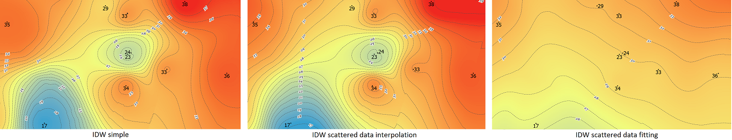
Interpolation methods
The input points are interpolated using inverse distance weighting (IDW) algorithms:
-
IDW simple
The simplest form of inverse distance weighting interpolation. Simple and fast, this algorithm may show lower performance on large datasets, gives too much weight for distant nodes and is too sensitive to distant outliers. f(x) is flat at the interpolation nodes, i.e. it has zero derivative at the nodes.
-
IDW scattered data interpolation
This modified algorithm is able to interpolate scattered data and provides good performance even for large datasets. Other advantages are - absence of "flat spots" near interpolation nodes, locality of interpolation algorithm, f(x) depends only on nearest neighbors of x which significantly improves quality of interpolation, ability to work with noisy data. At that, the following drawbacks can be mentioned - it is faster than original IDW algorithm only for large datasets (hundreds of points and more), in some rare cases f(x) may have discontinuities.
-
IDW scattered data fitting
This algorithm is modified to fit noisy data and should be applied only to noisy tasks. In absence of noise it has no benefits over interpolation algorithm.
Maximum neighbors
This parameter defines the maximum number of neighboring points taken into account for interpolating a value in an unmeasured location.
Notes:
-
Output Grid isn't created if mask dataset doesn't cover any part of it.
-
Output Grid won't be clipped by the mask polygon features with incorrect geometry.
-
Output raster format, minimum default Grid size and default maximum number of neighbors can be customized (see XTools Pro Options).