


Split Polygons
#updated
Purpose
Input features: 
Output features:
The tool is aimed to splitting polygon features with polylines or polygons of another feature class.
Description
The tool provides ArcGIS users with capabilities to split input polygons into separate polygons by another polyline or polygon feature layer.
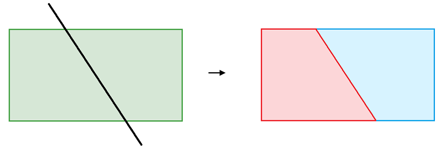
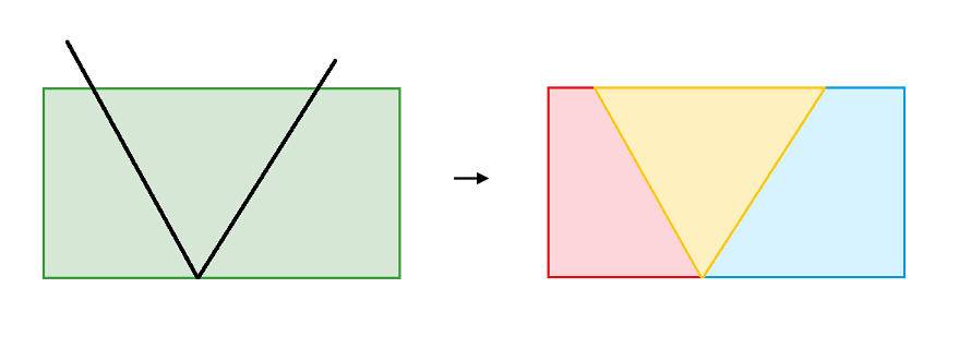
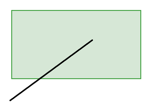
Splitting the polygon with the polyline:
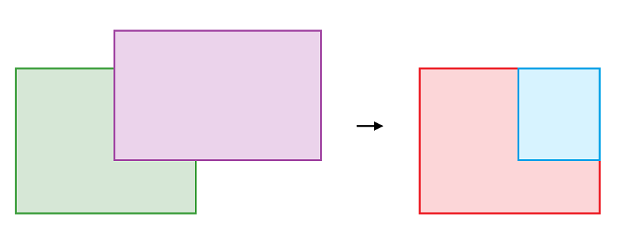
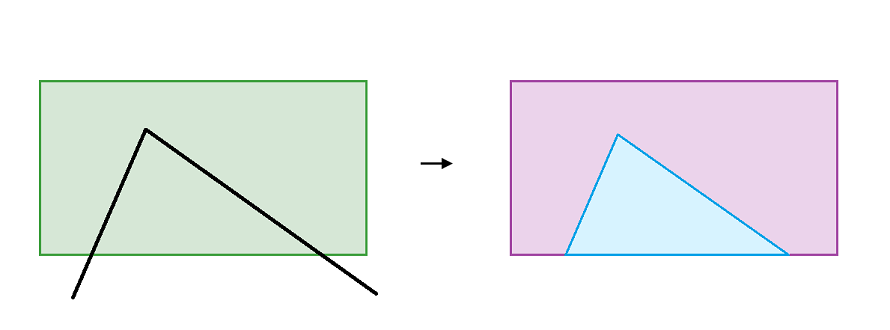
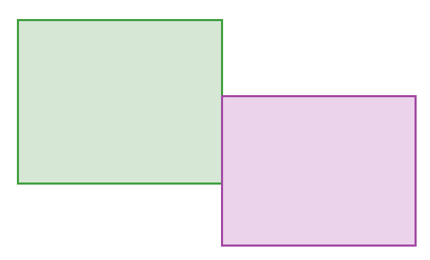
Splitting the polygon by another polygon:
Buffer
The tool contains the option of setting the buffer to the intersecting objects. It is possible to use a constant buffer value specified by the user, or to extract the buffer value from the attribute field of the intersecting objects.
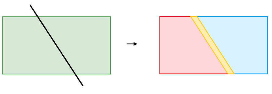
Polygon splitting with a polyline using a constant buffer value:
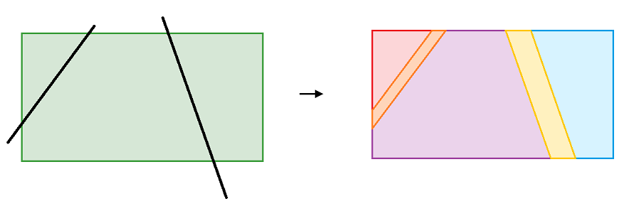
Polygon splitting with polylines using the buffer value from the attribute field of intersecting objects:
Special cases
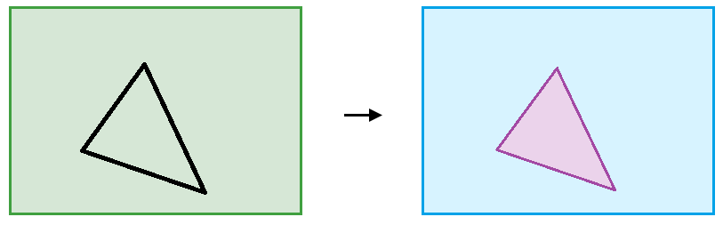
In the following cases polygons won`t be split:

Usage
- Select the "Split Polygons" tool from the Geometry tools of XTools Pro menu.
- Select the input layer containing polygons that you wish to split using Map Content, Catalog, History or Favorites.
- Specify the name and location of the output feature class using Catalog, Default Path, Document locations, Home GDB, History or Favorites. The output data can be saved in a shapefile or in a geodatabase.
- Select the layer containing polylines or polygons to split input polygons with using Map Content, Catalog, History or Favorites.
- Specify ID field to store input features IDs.
- Specify split buffer if required, this can be defined as a constant value or values of the selected field can be used.
- Press Run to split polygons.
Note
- To split polygons, the objects to be split and splitting objects should intersect and belong to different feature classes.
- If the input layer contains multipart polygons, then such polygons will be divided into parts as a result of the tool operation.