


Change Datasources
Purpose
Do you often see red exclamation marks by the layer names in the Table of Contents of your ArcGIS map documents? Lost and broken links to data sources in the maps can be a real problem, especially when you do not know exactly where the data is actually stored. The XTools Pro Change Datasources tool addresses the problem of incorrect links to data sources in ArcGIS map documents resulting from moving, copying or sharing map documents.
Description
With XTools Pro Change Datasources tool you can easily fix incorrect paths to the data in ArcGIS map documents. Incorrect links can be fixed manually and automatically. Another tool usage scenario is when you need to specially change data source and re-direct layers to other datasets.
Changing data sources
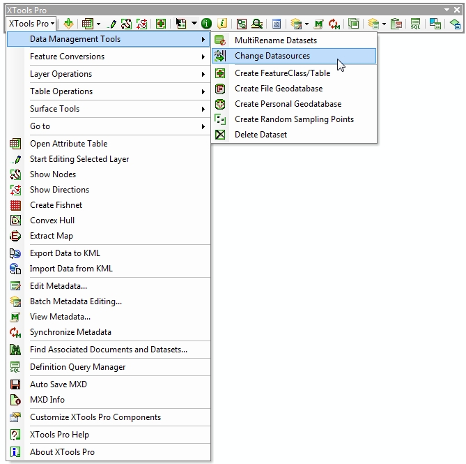
If you open an .mxd map document and see that links to data sources are broken for some layers (i.e. they are grey and marked with red exclamation mark) you can try to fix broken links with the Change Datasources tool. For that select the tool from the XTools Pro Data Management Tools menu:
The tool dialog will appear listing all the map layers and data sources and indicating if the links are valid or broken. In the example below the map document saved with the full path names to data sources was moved to another directory on disk along with the data. As a result, all the links to data sources are invalid:
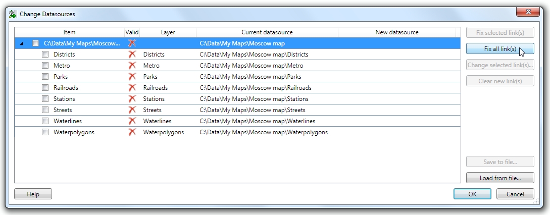
In the Change Datasources dialog you have a few options, see buttons on the right:
-
Fix selected link(s)
- allows to automatically fix selected invalid links
-
Fix all link(s)
- allows to automatically fix all invalid links in the map
-
Change selected link(s)...
- with this option you can manually change datasource for selected items (layers), no matter if the links are valid or invalid
-
Clear new link(s)
- this clears new specified links in the "New datasource" column. This option can be used, for example, if automatically fixed links are anyway incorrect (as there are lots of possible cases and combinations auto searching for data sources does not always provide correct results).
Note: mark the check boxes near the item names in order to select them.
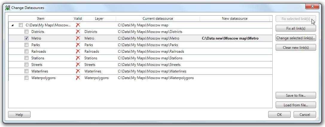
One selected invalid link fixed:
Now you can press OK and see that selected layer appears in the map.
All invalid links in the map fixed:
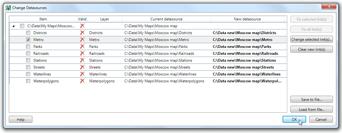
Now you can press OK and see that layers appear in the map.
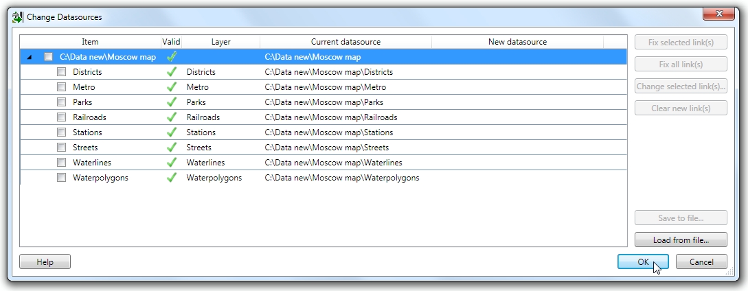
All the links are valid in the map:
Besides, for often use cases and scenarios datasources can be saved and loaded as XML files.
---