


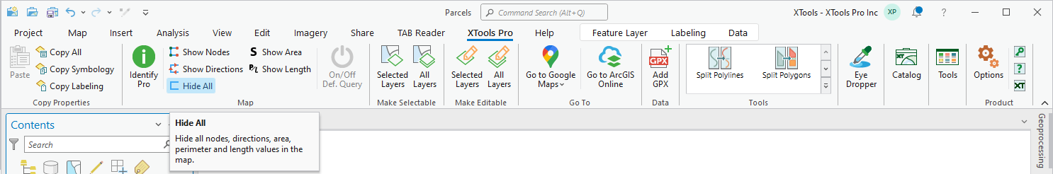
Hide All
Purpose
The Hide All tool is provided for hiding all features nodes, directions, perimeters, lengths, and areas values on the current map or map frame in a layout.
Description
When showing nodes, directions, perimeters, lengths, and areas values for more than one layer on the map, you have to select each of the layers in the table of contents and click again the correspondent buttons from the XTools Pro tab to hide them.
The Hide All tool allows hiding all nodes, directions, perimeters, lengths, and areas values on the current map or map frame in a layout with one click.
Usage
The Hide All tool is active if there is at least one layer with nodes, directions, perimeters, lengths, and areas values turned on.
Simply click the Hide All button from the XTools Pro tab, and nodes, directions, perimeters, lengths, and areas values of all features on the map will be hidden.
To turn them on for the selected layers click again the correspondent button from the XTools Pro tab.