


Customizing "Grid from Points" tool
For the component "Grid from Points" the following elements are customizable:
-
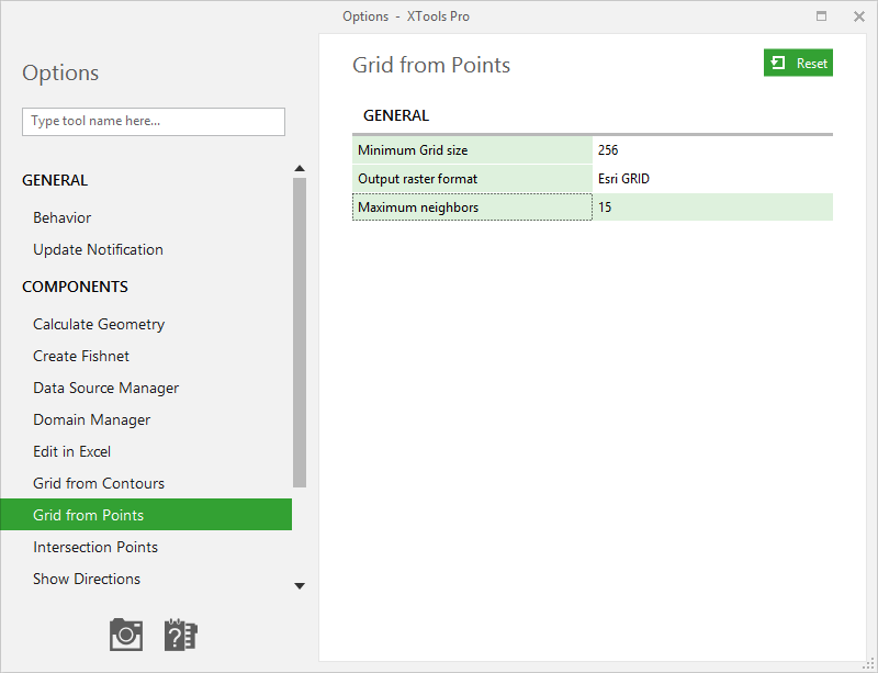
Minimum Grid size
- determines the minimum default size of a Grid height or width. Depending on this parameter the default Grid cell size is calculated.
-
Output raster format
- defines the default format for output rasters - Esri GRID, ERDAS IMAGINE and TIFF. -
Maximum neighbors
- defines the default maximum number of neighbor points to be taken into account when interpolating Grid cell value.
Changed Minimum Grid size and
Output raster format parameters
are applied upon closing the Options
dialog.
New value of Maximum neighbors
will be applied upon using XTools Pro Grid from Points
tool next time.