


Extract Raster Values
Purpose
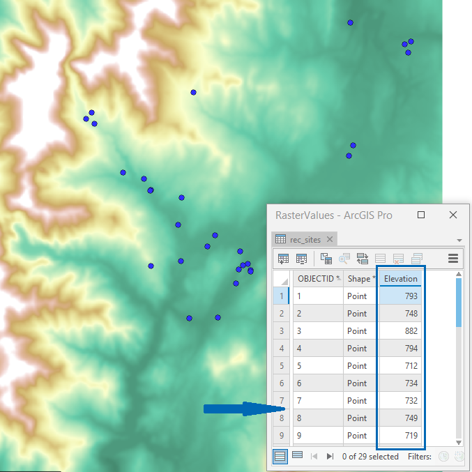
The tool is meant for extracting input raster values at the existing points as the points attributes.
Description
The tool allows extracting rasters (e.g. DEM GRIDs) values at the existing point locations and output them as new attributes of the selected point dataset.
Usage
-
Select the "Extract Raster Values" tool from the XTools Pro Raster Tools.
-
Select input rasters\bands to extract values from.
-
Specify output fields to store extracted raster values.
-
Select output point dataset, raster values will be extracted at those points.
-
Press Run to extract values from rasters.