Manual polygon features separation
The Manual polygon features separation tool is recommended to be used to separate the polygon features into parts, located at the specified distance from each other, in order to differentiate the road, the forest belt, etc. Such separation allows to avoid verifying the topological features accuracy, as the resulted polygons do not overlap each other.
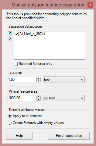
Run the tool and specify the required parameters in the appeared dialog:
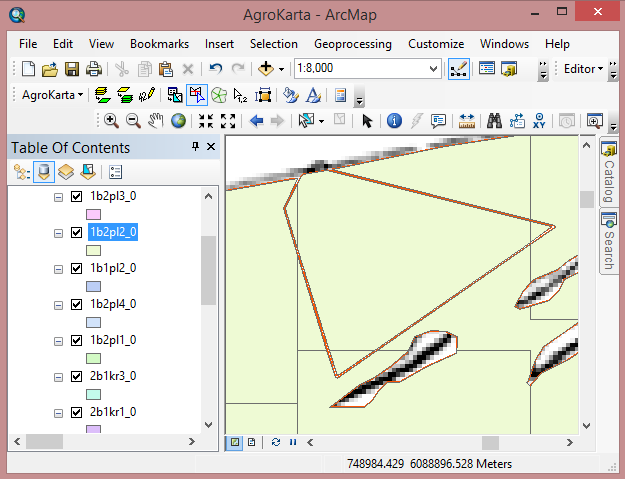
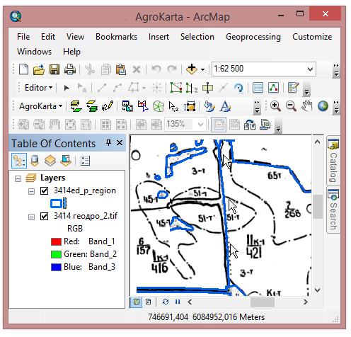
As soon as the tool is run, you can start drawing the required boundaries on the map using the mouse cursor. Note, that the polyline start and finish should intersect the plot's boundaries.

To finish drawing the separation polyline click the Finish separation button.
The given tool can be also used to separate the polygon feature into the simple parts of the specified area.
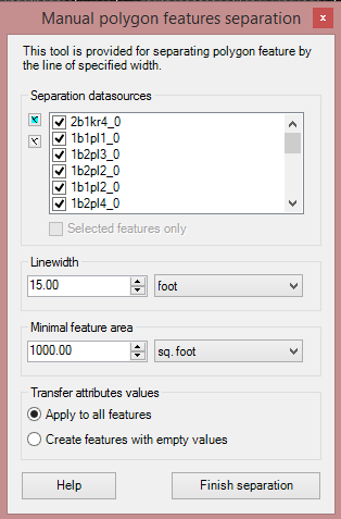
The dialog's parametrization includes automatic setting of the following parameters:
• the separation line width;
• the minimal area of the separated polygon parts.